
Half Dome Hike
Build your mapTrails and places
Trails and places, on one map.
Draw real routes and publish useful place details without splitting the visitor experience.
Built for destination teams
What your team does
Import or draw a trail, add distance and elevation, then enrich every stop along the way.
What visitors get
Visitors move from a route to nearby trailheads, parking, food, and viewpoints without leaving the map.
Where it works today
Routes, markers, photos, categories, and place details are ready to use with the destination data you provide.
Product in motion
From the team’s action to the visitor’s map.
See it in action
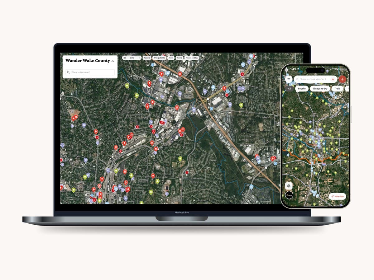
See trails and places together
Routes, trailheads, and nearby businesses share one clear view, so visitors can plan the whole outing.

Keep exploring
More ways to use your map
- The map builderYour official map, built with you
- Areas and regionsDistricts, parks and regions as shapes
- Data importsBring KML and GeoJSON into your map
- Categories and filtersThe categories visitors think in
- Keep it currentClosures, conditions and changes, everywhere
- BrandingYour logo, colors and basemap
See it on a map of your destination.
We’ll walk you through it on a destination like yours. We build the map with you; your team steers.