Waterfall maps for destinations

More than a beautiful view.

The overlook. The forest walk. The little town on the way back. Turn a waterfall that catches the eye into a day worth exploring.

Upcountry South Carolina · Find your waterfall day.
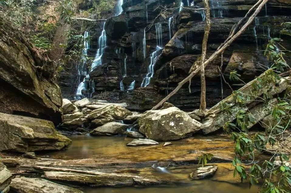
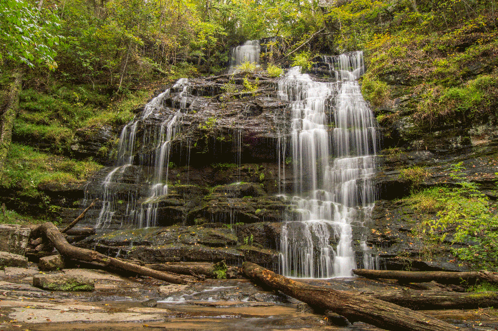
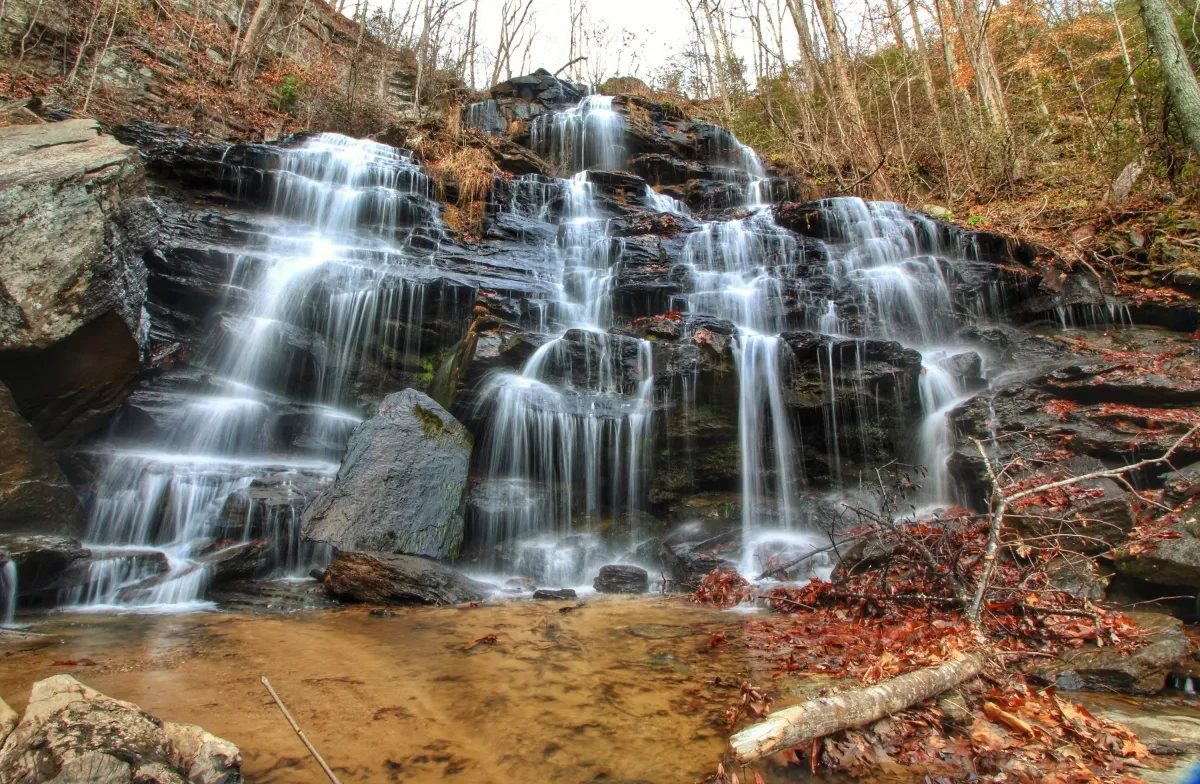
Photos from Upcountry’s Wander map · © Mapbox © OpenStreetMap © Maxar

From a saved photo to a full day

The view is just the beginning.

A waterfall can inspire the trip. Your local knowledge helps visitors choose the right one: a quick overlook, a longer hike, a shady place to spend the afternoon.

Wander brings those choices onto your official map. Connect the photos to the landscape, the falls to their access, and the outing to the places worth stopping for along the way.

On Upcountry South Carolina’s Wander map

Three waterfalls.
Three ways to spend the day.

Start with Issaqueena’s overlook, follow the forest to Yellow Branch, or find the woodland cove at Station Cove. Select a waterfall and follow its hiking trail through the landscape.

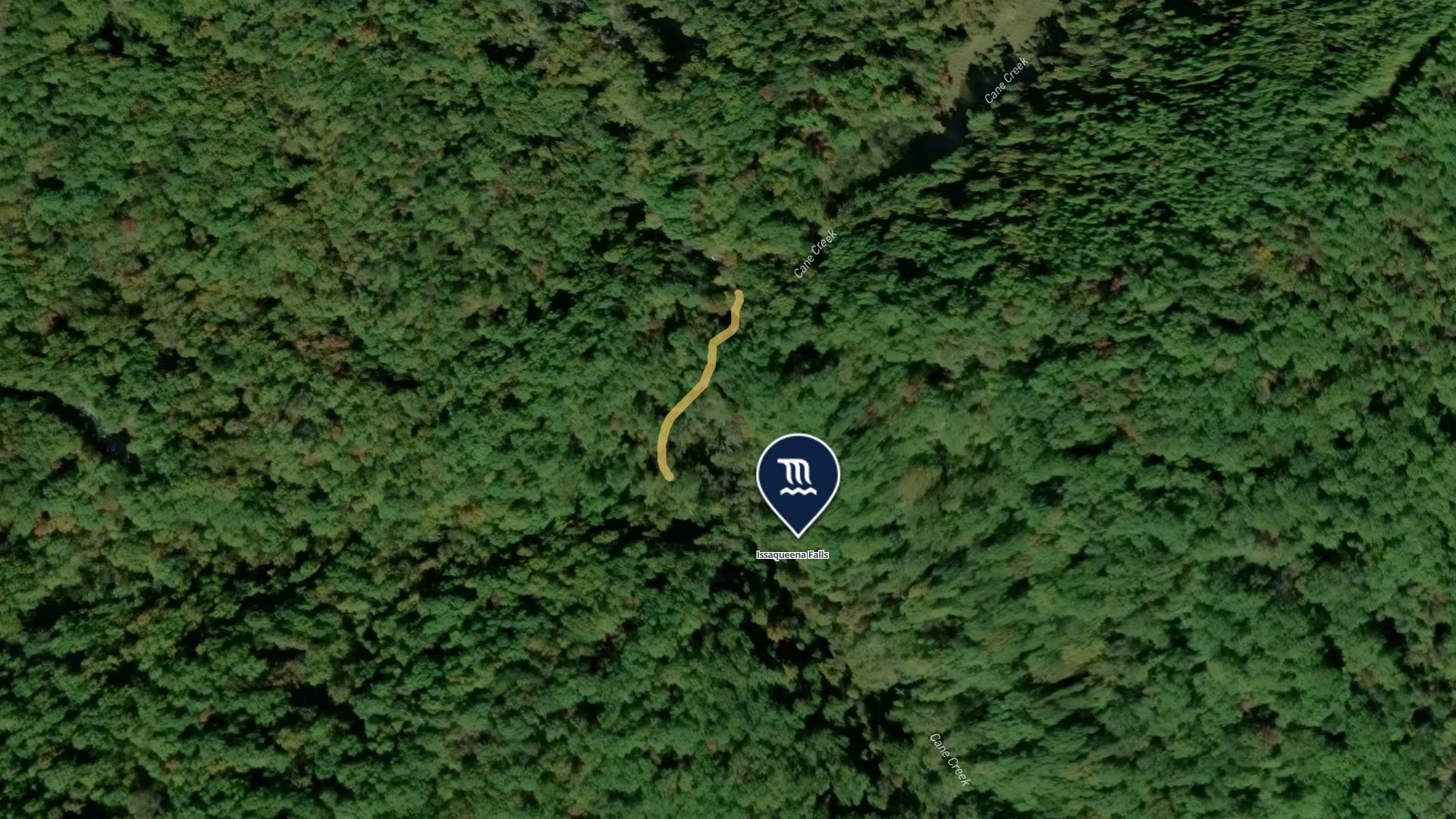
Issaqueena Falls and its overlook trail marked in the forested landscape of Upcountry South Carolina

The short overlook walk

Issaqueena Falls · Short walk to the overlook

The path below the platform is steep. Make the overlook the destination for a short visit.

Upcountry South Carolina · © Mapbox © OpenStreetMap © Maxar

A little local knowledge goes a long way

Help visitors choose their kind of waterfall day.

Photos from Upcountry South Carolina’s Wander map. Trail geometry and visitor details: SC Trails. Distances refer to the mapped routes. Each waterfall’s map panel links to its visitor guide for planning a trip.

Built around your destination

Bring the falls.
We’ll help connect the day.

Make it yours

Your waterfalls.
Your way to explore.

Can you start with our waterfall guide?

Yes. Bring your waterfall listings, photos, trail files and local knowledge. We build your destination’s map with you, connecting the places visitors want to see with the details they need to get there.

See data imports

Can we show which parking area serves each waterfall?

Yes. Connect each waterfall to its parking, trailhead, access trail and nearby facilities. Add local notes so visitors can distinguish a short overlook walk from a longer hike.

Explore trails and places

Can we make a waterfall guide or itinerary?

Yes. Group places into guides and itineraries around the experiences your destination knows best: an afternoon of overlooks, a forest hike or a weekend exploring the region.

Explore guides

Can visitors explore the map on our website?

Yes. Embed your destination map on your website and use focused maps on individual waterfall pages. Your team can keep the photos, descriptions and local guidance current in Wander.

See the site embed

Bring your destination to life

Give the view
a place on your map.

Bring your waterfalls, photos and local knowledge. We’ll build your official Wander map with you.

Book a demo