
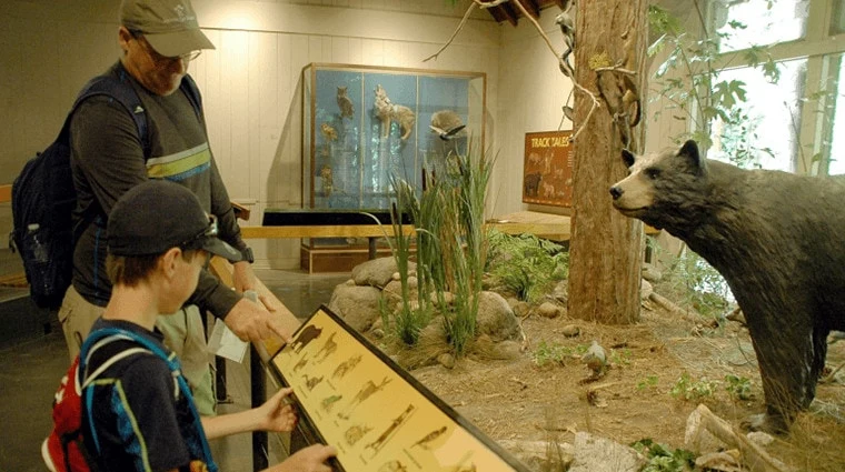
01 · A place to begin
Happy Isles
Put the arrival in context. Connect a trail to its starting point and the places visitors can explore nearby.
Hiking maps for destinations
The first step, the waterfall, the place to stop afterward. Bring the whole hike together on your destination’s official map.
Before the boots go on
A beautiful trail can inspire a trip. The details make it possible: where to arrive, how the route climbs, what’s around the bend, and where to take a break.
Wander brings that local knowledge onto the map. Visitors can move from a photo that catches their eye to the trail and the places around it, all under your destination’s name.
On Yosemite’s Wander map
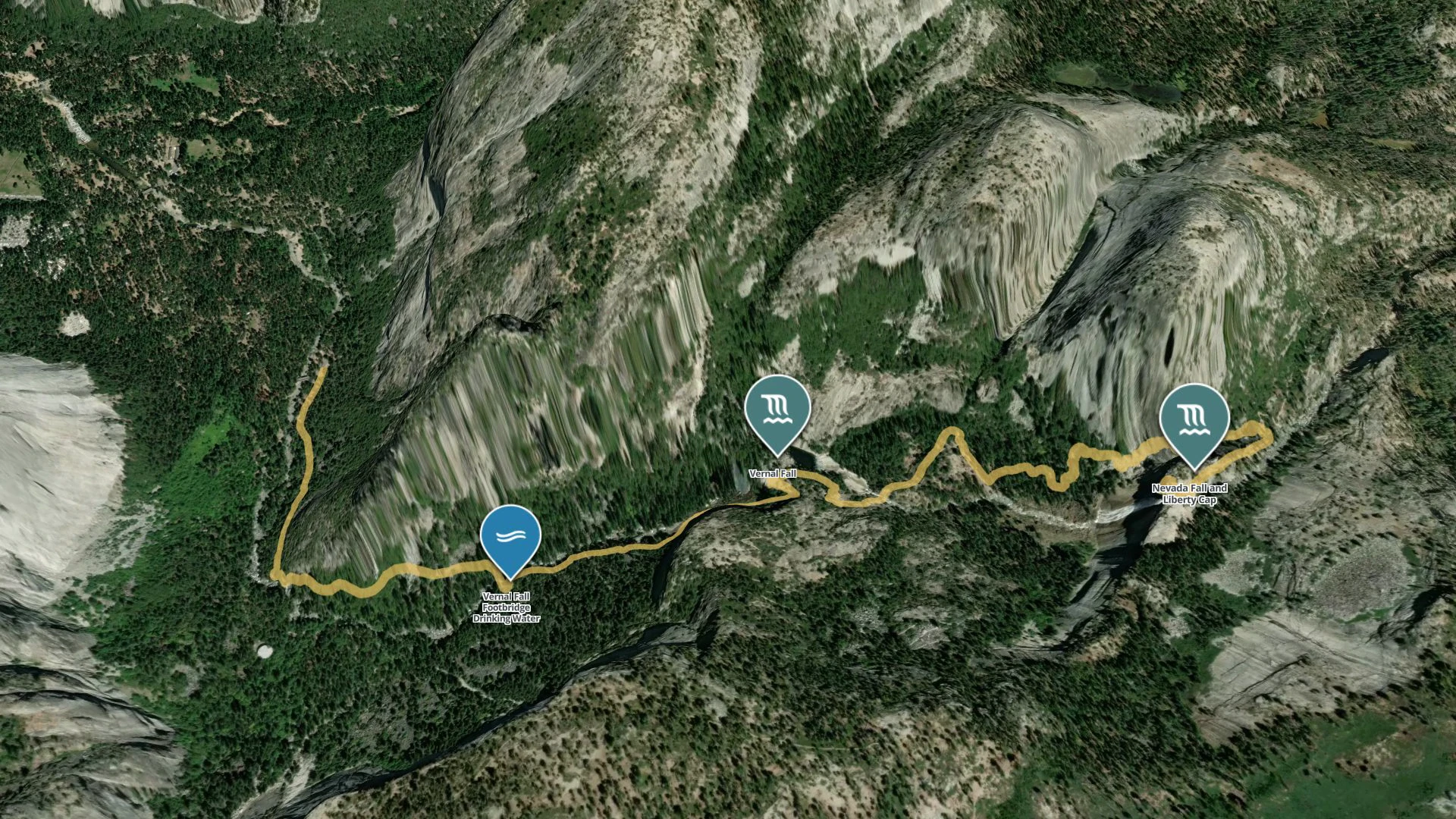
A place to park. The shuttle to the trailhead. Water and restrooms along the way. Explore the real places connected to Yosemite’s Mist Trail, then follow the climb toward the falls.
Planning a visit? Routes and seasonal access vary. Check current NPS trail information (opens in a new tab).
Every place has a part to play
01 · A place to begin
Put the arrival in context. Connect a trail to its starting point and the places visitors can explore nearby.
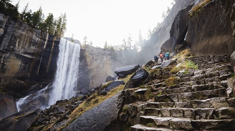
02 · A reason to keep going
Show the view alongside the route. Real photos help visitors picture the places they’re choosing between.
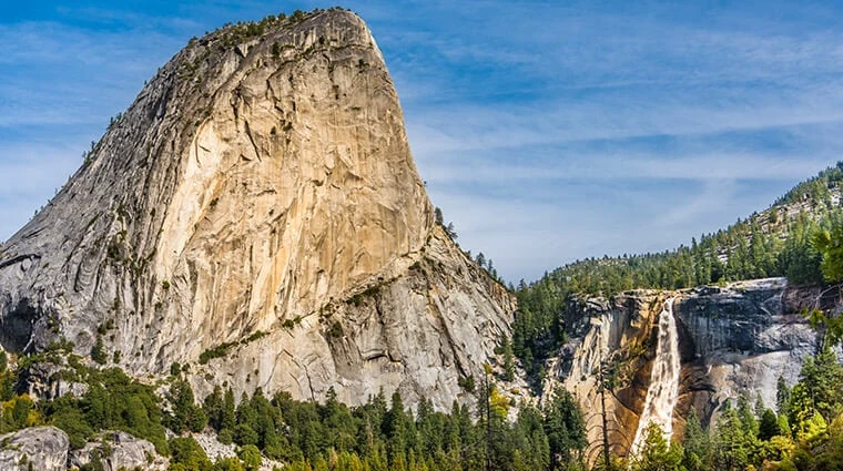
03 · The bigger adventure
Bring the landscape into the decision. Let visitors see how the trail, the terrain and the next stop fit together.
Photos: Yosemite Mariposa County
Built around your visitors
Draw the route on the landscape, with the details that help visitors choose their day.
Explore this feature : The actual trailConnect the trailhead, parking and shuttle stops to the trail they serve.
Explore this feature : A clear way to arrivePut water, restrooms and seasonal access notes where visitors will look for them.
Explore this feature : The useful little detailsBring each stop to life with your photos, videos and local descriptions.
Explore this feature : A glimpse of what’s aheadShow how a trail moves through the landscape, from the valley floor to the view.
Explore this feature : Room to explore in 3DConnect the outdoors to places for a meal, a local guide or another night in your destination.
Explore this feature : A hike that becomes a visitMake it yours
Yes. We start with the trail data, place listings, photos and local knowledge you already have. We bring them together on your Wander map and review the result with your team.
Yes. Connect trailheads, parking, water, restrooms and other useful places to the trail they serve. Visitors can open a trail and find the practical details together, with your notes about access and seasonal availability.
Yes. Put the full destination map on your website, or embed an individual trail on its own page. Share the same places through links and QR codes.
Your team can update places, descriptions, photos and local guidance in Wander. We help build the map with you, and you remain in control of the knowledge visitors see.
Bring your destination to life
Bring your routes, photos and local knowledge. We’ll build your official Wander map with you.
Book a demo